Plan a visit

A place of insights and inspiration
Visitor information
Opening times
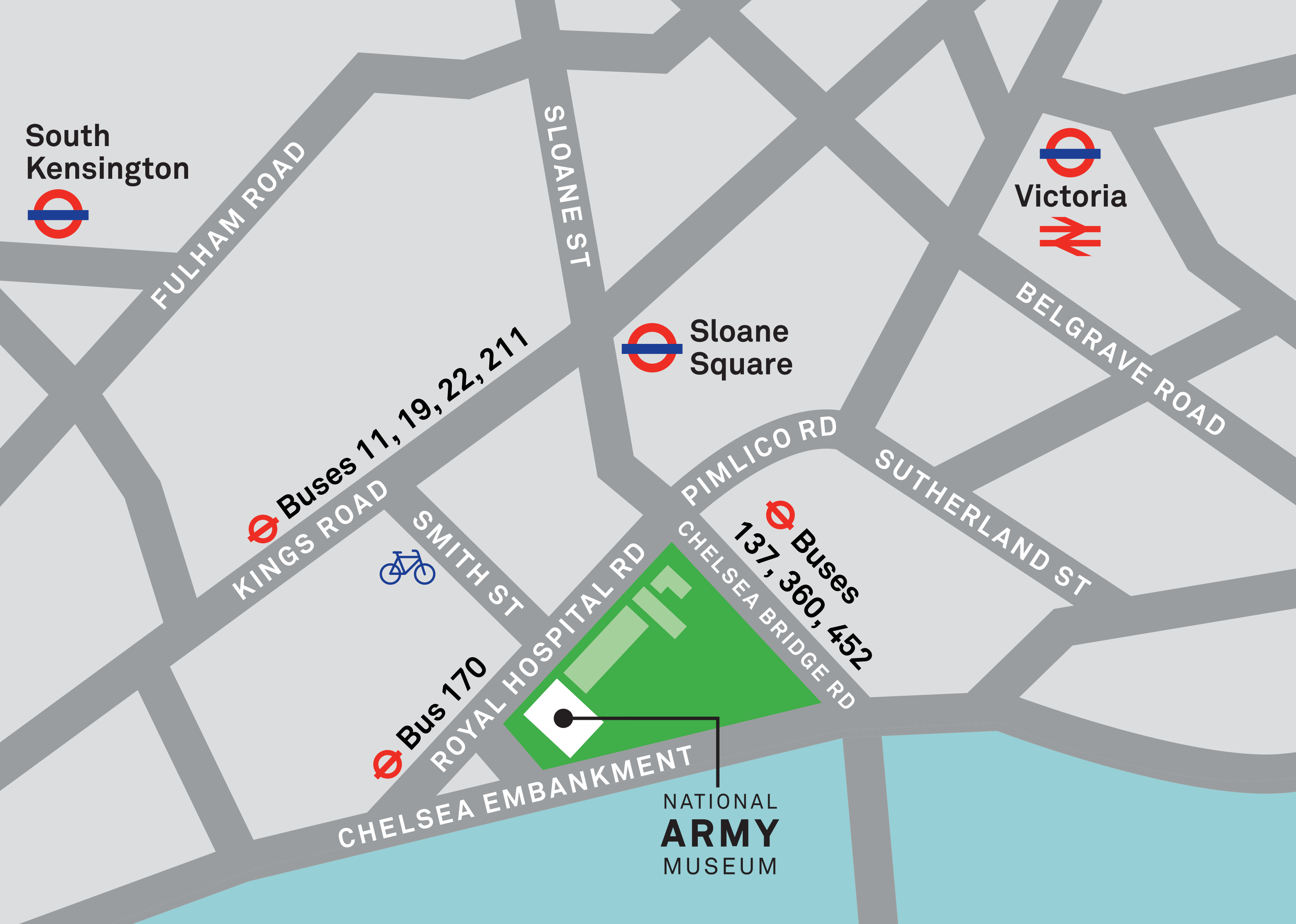
Plan your route

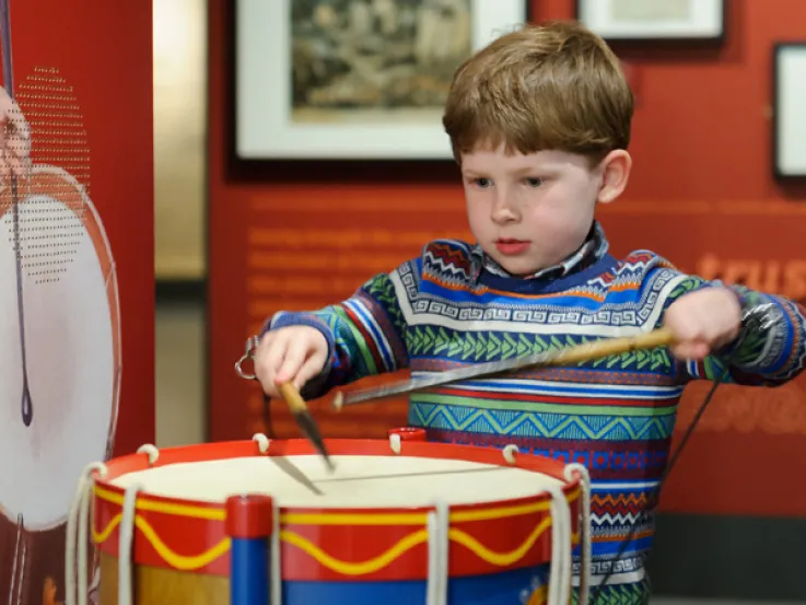
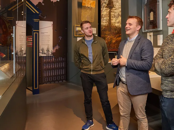
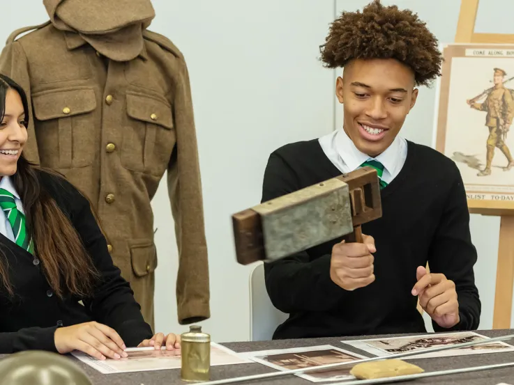
Explore the galleries
Our dynamic galleries feature thousands of objects from across our collections. They showcase the stories of soldiers from the Army's origins to the present day.
Something for everyone
Coming soon from the National Army Museum
View all events
Museum Late
Operation Interflex


Talk
The Sceptic Isle
The Café
The Café is an ideal place to meet, eat and drink. We serve the best whole-leaf tea and hand-roasted coffee, together with tasty, seasonal food.
The Shop
The Shop offers carefully chosen ranges rich in culture and contemporary design inspired by the history of the Army and the Museum's collections.
Sign up to our newsletter
Join our mailing list to find out more about exhibitions, events and the stories of soldiers who have shaped our world.